


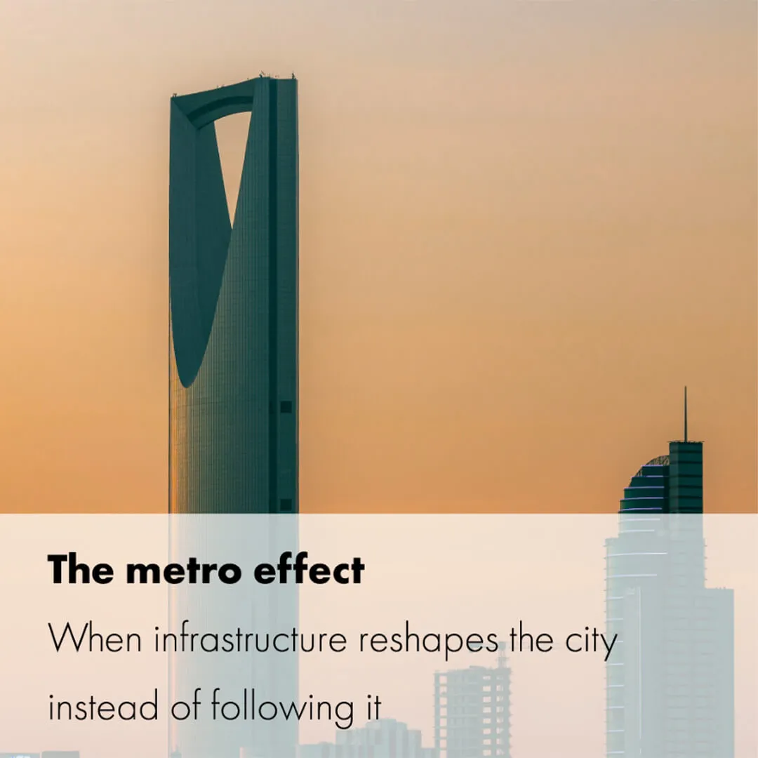
Can a metro reshape the structure of a city, rather than merely serve its movement? Riyadh offers a clear answer. A network of 176 kilometres, six lines and 84 stations has become the foundation of a new way of thinking about urban planning, in which public transport sets the direction of development instead of following the chaos of uncontrolled urban expansion.
The focus of planning shifts from roads and car parks to mobility hubs. Around them, denser, mixed-use districts emerge, shortening the distances between home, work and services. Public space regains its importance: pedestrian connections, green corridors and meeting places appear in place of purely technical facilities.
In the extreme climate of the Middle East, transport-oriented design also demands careful consideration of comfort and accessibility: shade, passive and active cooling and ease of movement. The conclusions are clear: well-designed infrastructure brings order to the city, strengthens local centres and creates living conditions based on proximity.


